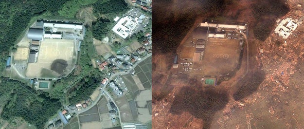
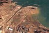
Google Earth Images Document the Effect of the Disaster in Japan
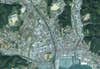
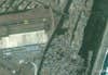
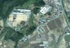
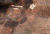
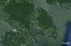
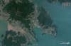
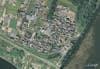
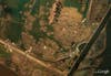
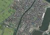
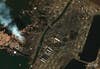
High-resolution provided by the Google satellite give an overview of the incredible destruction caused by the recent earthquake and subsequent tsunamis in Japan.
Google Satellite Japan main
For those who aren’t experiencing Japan’s current tragedy first hand, it’s kind of hard to really take in the scope of the whole situation. But, some images pulled from Google’s satellite help us visualize exactly how catastrophic this whole event has been.
Coastlines have been drastically changed and entire sections of land have been overrun with water that has brought with it dirt and debrit.
They have put the entire high-res collection up on Picasa for users to look through. They’re incredibly powerful and amazing at the same time.